RE: Water Transparency Project - Collaboration Forum - El Niño
GLOBE Breadcrumb
- Home >
- ENSO Campaign >
- Phase III of the ENSO Student Research Campaign: "Water in Our Environment" >
- Collaboration Forum
Open social media sharing options menu
 Share
Share


GLOBE Side Navigation
Heading
THE ENSO Phase III Community
Welcome to Phase III of the ENSO Student Research Campaign: "Water in Our Environment". You can share ideas, upload documents and post questions.
If you join this Community as a member, you will receive an email from other members who post to the forum, and your posts will be sent to everyone, so join us and start posting!
The group that was involved in the Global Water Quality Collaboration (GWQCG) will now be conducting their study on the GENESIS thread under the ENSO III Project. Please follow the link if you are interested in joining, participating or interested in following their work.
GLOBE Summary
Message Boards


0
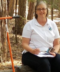
Hello All
My institution is issuing a call for water transparency data taken with transparency/turbidity tubes as part of the Water Transparency Project. The Water Transparency Project is an initiative to support 4th grade educators in South Dakota in meeting the Earth Science Standard 4-ESS2-1 Make observations and/or measurements to provide evidence of the effects of weathering or the rate of erosion by water, ice, wind, or vegetation.
Water transparency is a way to indirectly measure erosion that enters lakes, rivers, and streams through rain and snow melt. A robust data set will allow students to compare their local data with regional, national and even international data and analyze their findings in the context of geology, land cover, and land use.
I am looking for an interactive mapping platform that will layer the data over the geology, land cover, and land use for an activity that is slated to be released in 2018. So far, I've looked at Google My Maps, ESRI story maps, and National Geographic Mapmaker Interactive. Each platform has something to recommend it and each has drawbacks. I welcome any other suggestions.
0
Anne .... I am happy to help anyway I can. I think I have layers that would work and I think we can get them in a form that 4th gradres could use pretty easily.

0
Hi Anne. First, I would like to wish you success in your endeavor. It sounds like a great way to involve students in the science process. At Mahopac High School in New York, we have taken a lot of transparency readings but have not matched them to soil types in our area. I'm not sure if they would help but you can get the transparency readings at MHS Hydrology Site Pre pond:SWS-05 and MHS Hydrology Site Post pond:SWS-07 on the GLOBE website. Just go to GLOBE Data and click on the retrieve data link. I believe there are pictures of the sites which may help students relate the surrounding with transparency readings. Good luck. I hope this helps. There may be others in the GENESIS collaboration forum that can help.
0
RE: Water Transparency Project
Collab Members Map
Members Locations
GLOBE Educators' Activities
Members Activities
|
Yesterday
8:51 PM
|
|
Yesterday
6:24 PM
|
|
Yesterday
6:20 PM
|
|
Yesterday
6:20 PM
|
|
Yesterday
6:19 PM
|
|
Yesterday
1:53 PM
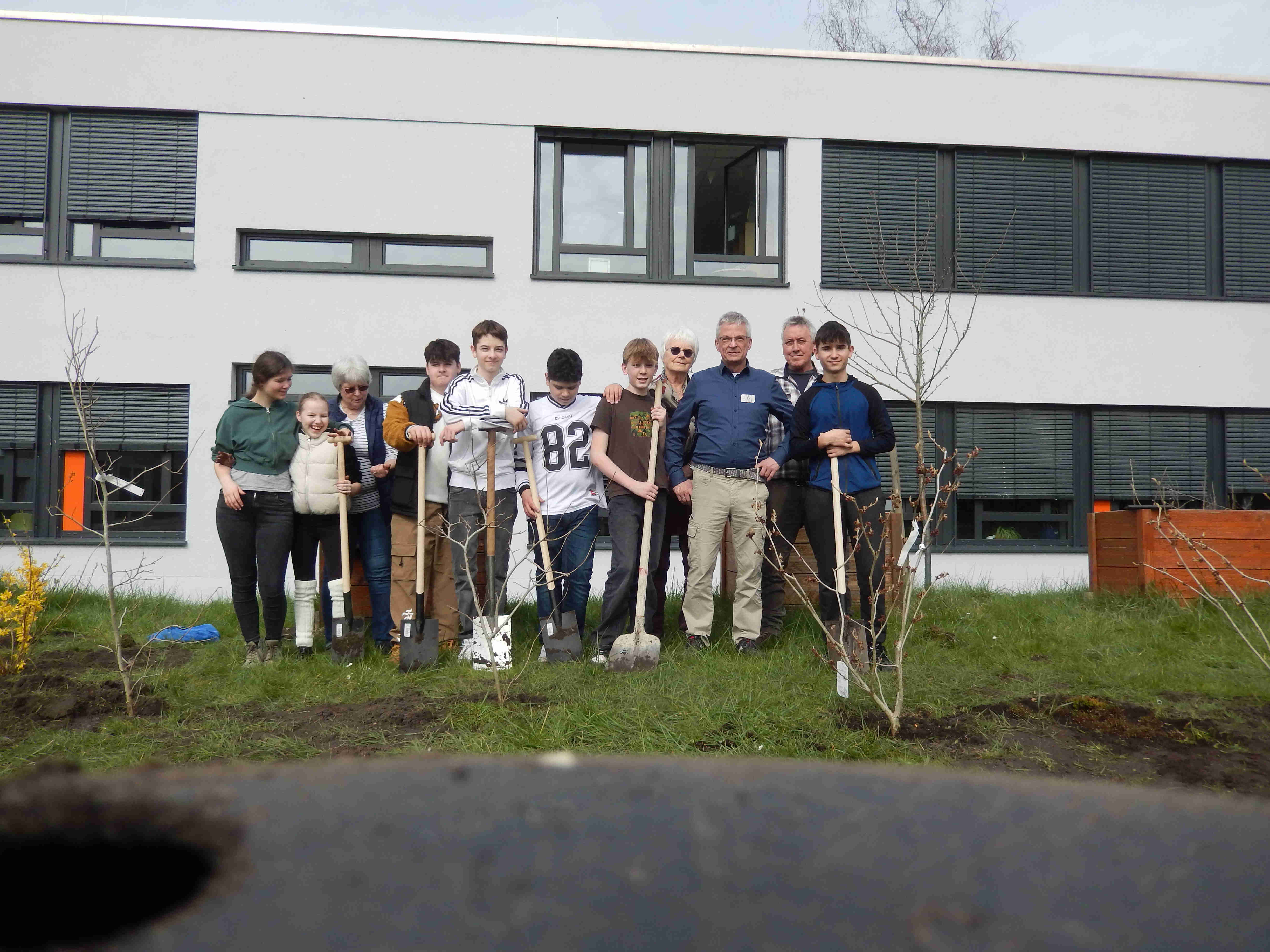
Dana Votápková uploaded a new document, PhänGarten LipSp Anlage 20240320-10-a (2).jpg, in Europe and Eurasia.
|
|
Yesterday
1:49 PM
Dana Votápková uploaded a new document, PhänGarten LipSp Anlage 20240320-10-a (1).jpg, in Europe and Eurasia.
|
|
Yesterday
1:47 PM
|
GLOBE Educators
Members
This community has 72 members.
GLOBE Scientist
|

Biology/GLOBE Teacher
|

Teacher
|
Trainer
|

Laboratory Technician
|

Technology and Data Science Specialist
|
teacher
|
Science Teacher
|
Science Teacher
|

Coordinador Nacional
|
Teacher
|
Professor
|
Teacher
|
Country Coordinator
|

High School Biology Teacher
|
Science Teacher
|
RESEARCH ANALIST
|

Teacher
|
Teacher / Mentor Trainer
|
GLOBE Partner
|
GLOBE Partner
|
Globe Main Teacher
|
Teacher
|
Associate Professor (mathematics) - retired
|

teacher
|
teacher
|
prof. of Biology and Chemistry
|

Teacher, Trainer
|
Grant Programs Director
|
Gifted and Talented Resource Teacher
|

teacher
|

Teacher
|
Evaluator
|
Executive Director IEO
|
Assistant Country Coordinator
|
Teacher
|
environmentalist and high school teacher
|
Teacher
|
GIS Analyst
|
GLOBE Partner Los Angeles Unified School District | Westside Math Science And Technology Center
|
GLOBE Partner and Science Educator
|

Researcher
|

Teacher
|
Teacher/Educator
|
Teacher
|
Teacher
|

GLOBE Training Coordinator & GLOBE Teacher
|
Teacher
|
GLOBE Partner
|

teacher
|

teacher
|
Teacher at primary school
|
GLOBE Partnership Manager / Training Coordinator NASA Goddard Space Flight Center
|
Europe and Eurasia Region Coordination Office Representative
|

Executive Director
|
Deputy Coordinator for GLOBE Observer
|
GLOBE Country Coordinator, Poland
|


