GLOBE News


Join NASA Webinar Series (24, 26 and 31 January 2023): Connecting Citizen Science with Remote Sensing
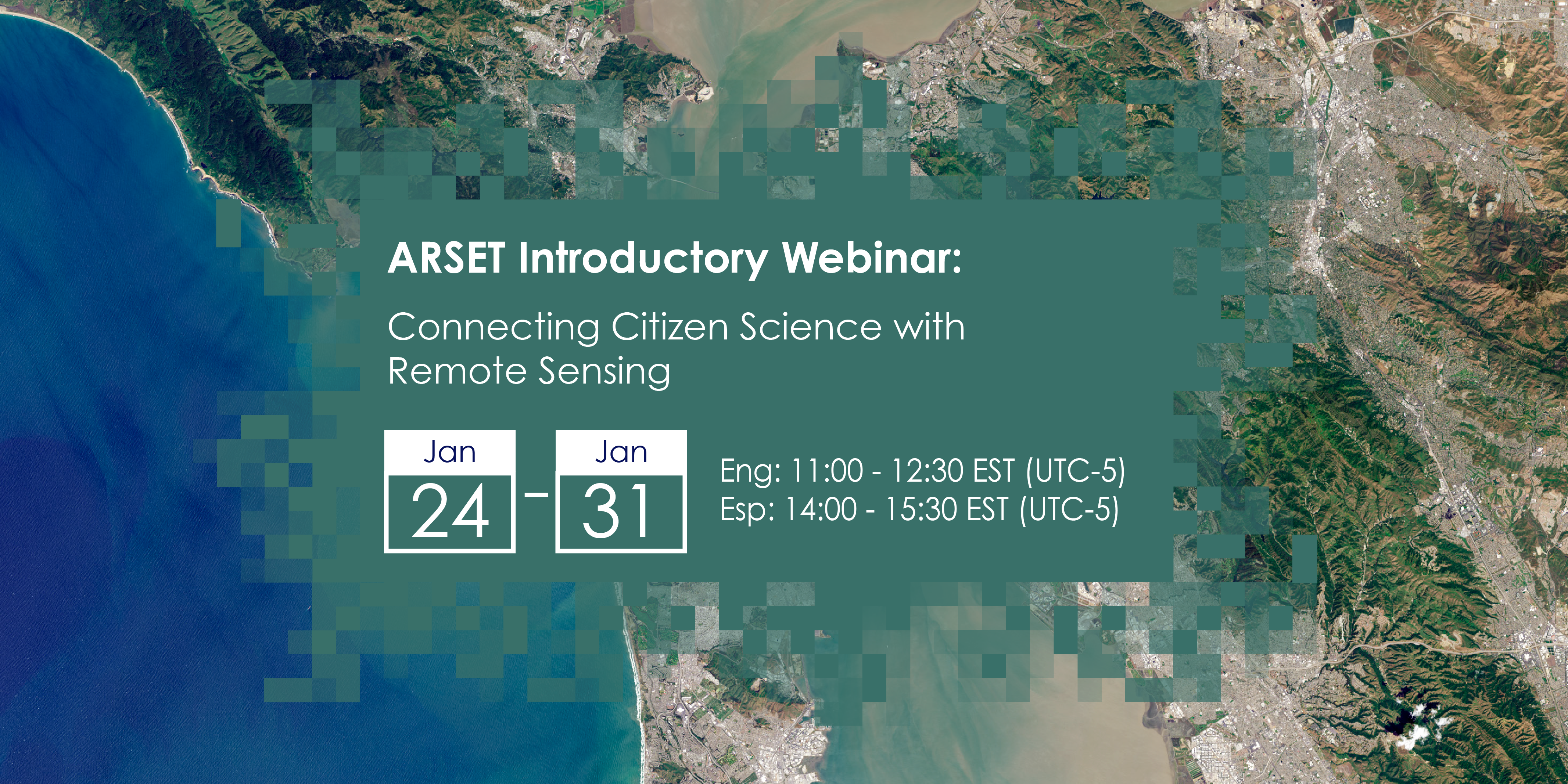
Join the NASA”s three-part webinar series, “Connecting Citizen Science with Remote Sensing” on 24, 26 and 31 January.
NASA’s Applied Remote Sensing Training Program (ARSET) is offering a new open, online introductory webinar series: “Connecting Citizen Science with Remote Sensing.” This three-part training, delivered in English and Spanish, will provide attendees an overview of citizen science efforts that use Earth observations combined with ground-based information in the fields of climate change, sustainable development, ecosystem monitoring and characterization, drought, and land cover or land-use change, and will highlight case-study examples of successful citizen science projects, with some examples from NASA supported projects and activities
Citizen science projects provide the opportunity for community member volunteers to monitor the Earth. These projects have dramatically increased in the last decade and can provide great benefits to projects that combine Earth Observations with ground-based information in the fields of climate change, sustainable development, ecosystem monitoring and characterization, drought, and land cover or land-use change.
This training will provide attendees an overview of citizen science efforts that use Earth Observations, and how to engage with community members in a supportive and meaningful manner to achieve project goals. Attendees will also be provided with case-study examples of successful citizen science projects, with some examples from NASA supported projects and activities. We will highlight projects like NeMO-Net, a global coral reef classification with 2D and 3D images application combined with machine learning; Floating Forests, a Giant Kelp monitoring platform where participants can classify kelp in Landsat images; Snapshot Wisconsin, a project that uses images of wildlife from trail cameras to assist with habitat mapping; and Soundscapes to Landscapes, where bird diversity in California is monitored by identifying specific species through sound recordings. We will also highlight the Global Learning and Observations to Benefit the Environment (GLOBE) Program, an international science and education program, and GLOBE Observer, a citizen science app that allows volunteers in GLOBE countries to take observations and contribute to the community.
Times and Registration Information:
English Session: 11:00-12:30 EST (UTC-5): https://go.nasa.gov/3TPfrtT
Spanish Session: 14:00-15:30 EST (UTC-5): https://go.nasa.gov/3GTuPm4
Learning Objectives: By the end of this training, attendees will be able to:
- Summarize applications of Earth Observations for citizen science
- Outline key aspects of citizen science projects including community engagement, quality assurance of data collection, cataloging and summarizing data, and effective communication of project results
- Discover case study examples of the use of Earth Observations for NASA Applied Sciences projects
Audience: Local, regional, state, federal, and non-governmental organizations involved in land management, conservation, biodiversity, and forest monitoring. Educators and scientists interested in involvement with citizen science would also be interested in this training topic.
Course Format: Three, 1.5-hour parts
To learn more, click here.
31 January: The GLOBE Program’s App, GLOBE Observer
The 31 January session will include a presentation by Dr. Rusty Low, Institute for Global Environmental (IGES) and Peder Nelson (Oregon State University). They will present on The GLOBE Program’s mobile app, GLOBE Observer, focusing on the Mosquito Habitat Mapper and Land Cover tools for citizen science supporting community health and sustainability.
Highlighted projects will also include NeMO-Net, a global coral reef classification with 2D and 3D images application combined with machine learning; Floating Forests, a Giant Kelp monitoring platform where participants can classify kelp in Landsat images; Snapshot Wisconsin, a project that uses images of wildlife from trail cameras to assist with habitat mapping; and Soundscapes to Landscapes, where bird diversity in California is monitored by identifying specific species through sound recordings.
News origin: GLOBE Implementation Office