GLOBE News


Tomorrow (12 Nov): Trees Around the GLOBE Webinar “Getting Comfortable with ICESat-2 Height Data and the Open Altimetry Online Tool”
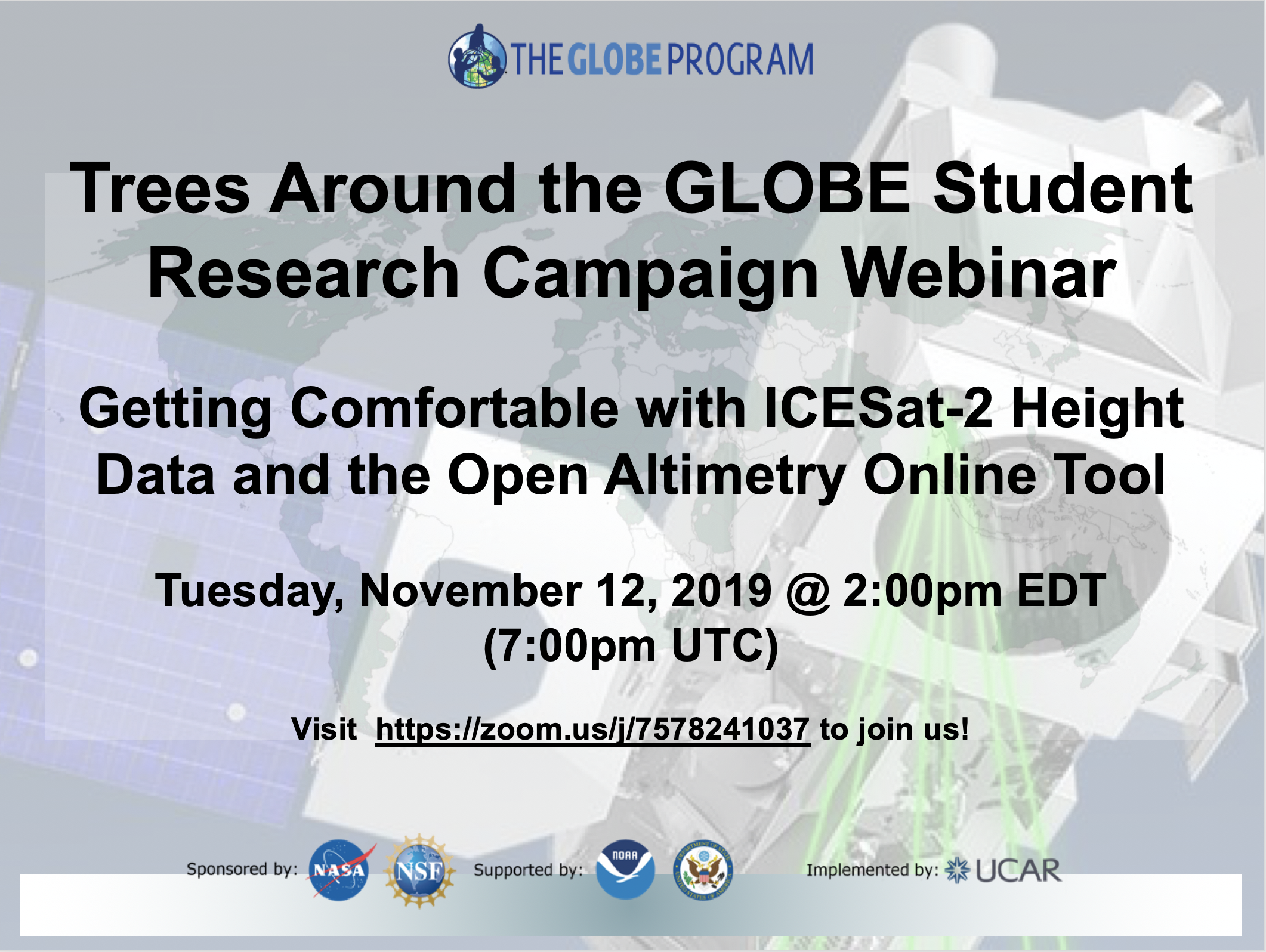
 On Tuesday, 12 November, the Trees Around the GLOBE Student Research Campaign webinar “Getting Comfortable with ICESat-2 Height Data and the Open Altimetry Online Tool” will be held at 2:00 p.m. EDT (7:00 p.m. UTC).
One of the major ways students can perform student research is to compare GLOBE student and citizen science tree height data to height data from the NASA Ice, Cloud, and land Elevation Satellite-2 (ICESat-2). By comparing this data, students can see just how close the satellite tracks over their locations and if certain GLOBE-measured trees have been measured by ICESat-2. Amy Fitzgerrell from the National Snow and Ice Data Center in Colorado, USA, will be guiding an interactive tutorial of the Open Altimetry online tool.
To register for the upcoming webinars and to receive emails about future webinars, click here.
To learn more about the Trees Around the GLOBE, including how to start taking measurements, how to retrieve relevant data, how to view ICESat-2 Satellite data, and how to connect to the campaign community, click here.
type: globe-newsNews origin: GLOBE Implementation Office