News - Mission Earth


My NASA Data Story Maps in One Place
My NASA Data (MND), an Earth Science education project managed from the NASA Langley Research Center Science Directorate (a partner with GLOBE Mission Earth), offers an innovative way to engage students in NASA Earth data...story maps.
Are you familiar with Story Maps? Story maps are an immersive means of storytelling by combining rich narrative text with interactive maps and NASA data, along with other multimedia content like images and videos in a 5E Model of the Earth System phenomena that you teach.
MND offers the following Story Maps that each feature a lesson plan and supporting resources.
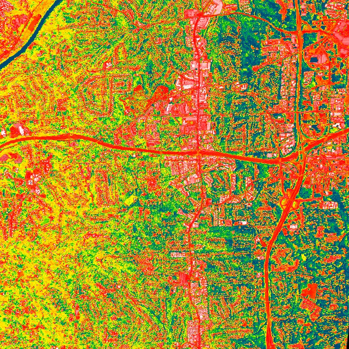
The Creation of the Urban Heat Island Story Map engages students in the exploration of the urban heat island effect using land surface temperature and vegetation data. Students also investigate the processes that create differences in surface temperatures, as well as how human activities have led to the creation of urban heat islands.
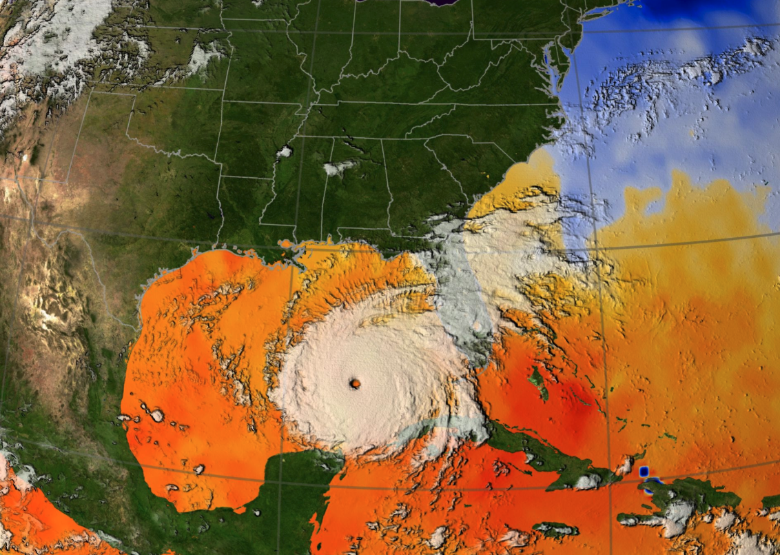
In the Hurricanes as Heat Engines Story Map, students use various visualizations (i.e. images, charts, and graphs) to explore the energy exchange that occurs when hurricanes extract heat energy from the ocean. Using sea surface temperature data, they simulate the conditions that allow hurricanes to form, and observe the effects of hurricanes on the Earth System.
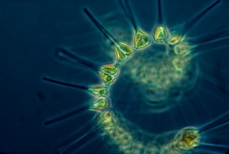
The Global Phytoplankton Distribution Story Map students use chlorophyll concentration data to explore global distribution patterns of phytoplankton. Students also investigate the processes that allow phytoplankton populations to thrive, as well as how their role in the carbon cycle affects the other spheres of the Earth System.
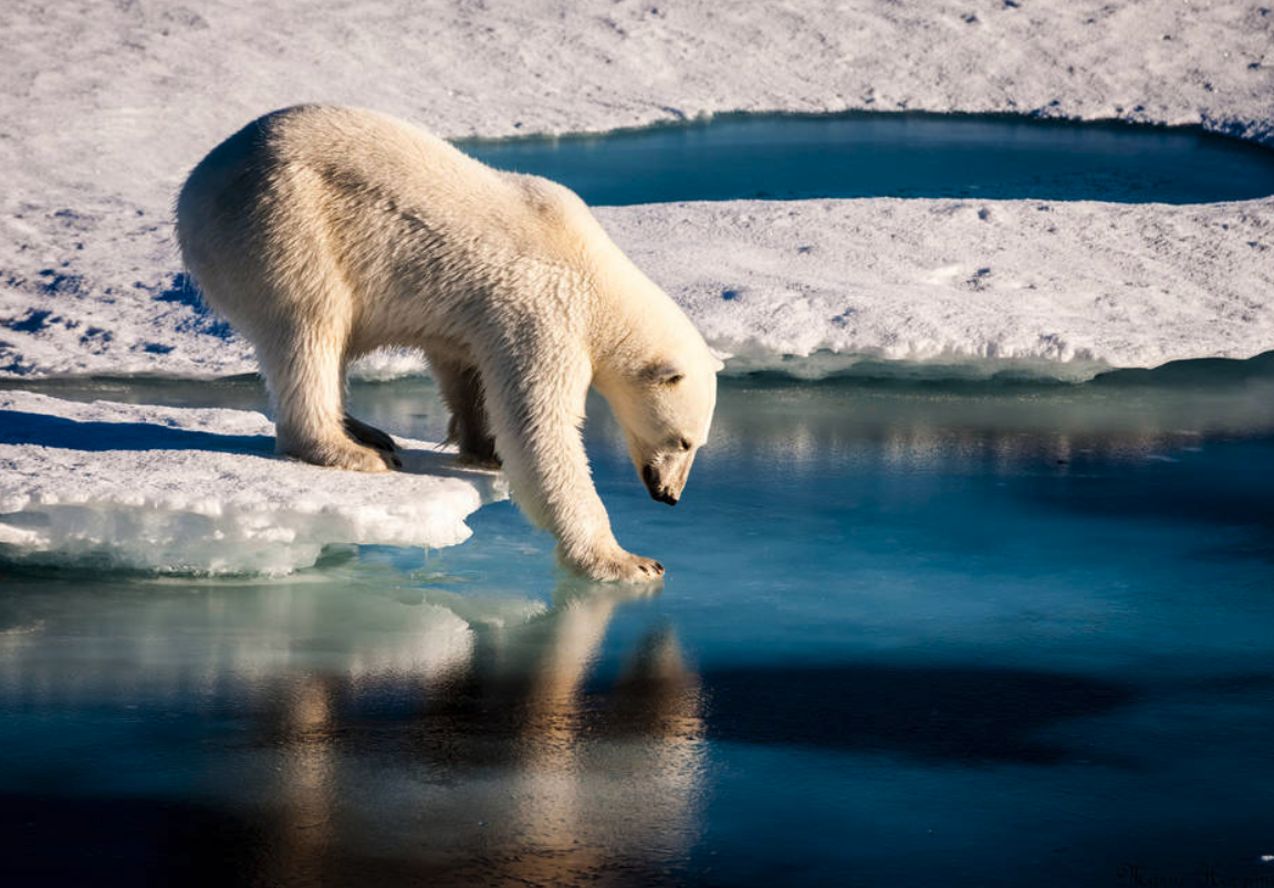
In the Sea Ice Extent and the Earth System Story Map, students explore changes in sea ice extent as it relates to other spheres within the Earth System. They also develop an iterative concept map that they will use to document their understanding of the Earth System as it relates to changes in sea ice.
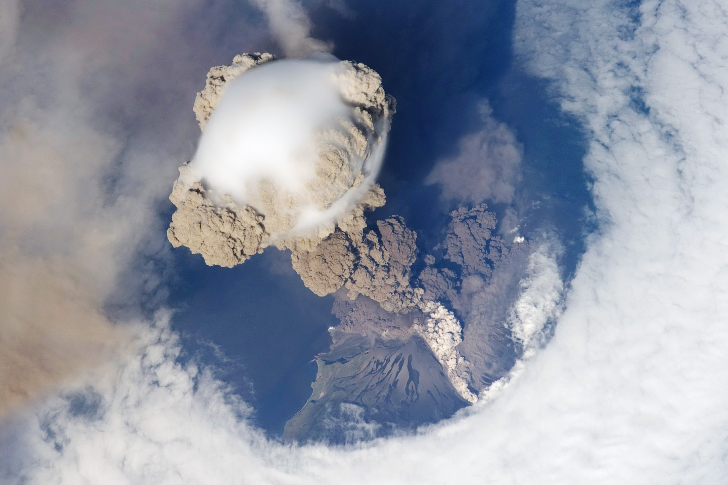
In the Volcanoes Eruptions Story Map, students explore the formation and impacts of ash and aerosols from volcanic eruptions around the world. They also investigate how ash and aerosols produced from volcanic eruptions are hazardous to the human ecosystem.
For more information, visit My NASA Data (https://mynasadata.larc.nasa.gov/basic-page/story-map-collections).
Questions? Comments? Reach out to mynasadata@gmail.com.