Collaborating Satellite Missions
Take part in GLOBE Campaigns related to NASA Missions: Geostationary Operational Environmental Satellites – R Series (GOES-18), Soil Moisture Active Passive Mission (SMAP), Global Precipitation Measurement (GPM), CloudSat and CALIPSO.
A summary document of GLOBE Schools and NASA Satellite missions is available for download.
To stay connected to the GLOBE Partner Satellite Missions, be sure to sign up to receive communications about the missions.
|
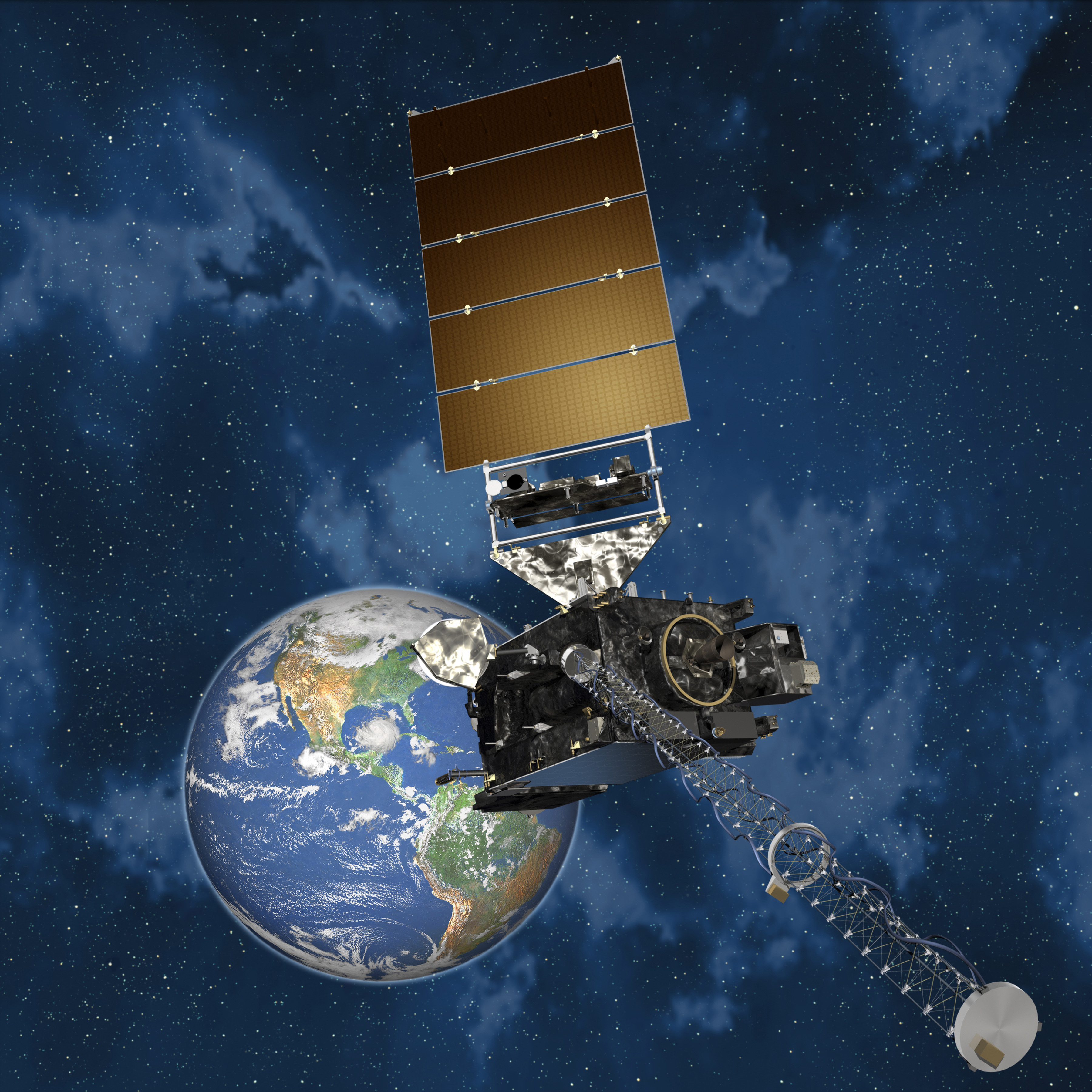
Geostationary Operational Environmental Satellites - R Series (GOES-18) The Geostationary Operational Environmental Satellites – R Series (GOES-18) is the next generation of geostationary Earth-observing systems. The advanced spacecraft and instrument technology employed by the GOES-18 series will provide significant improvements in the detection and observations of environmental phenomena that directly affect public safety, protection of property and our nation’s economic health and prosperity. The GOES-18 program is a collaborative development and acquisition effort between the National Oceanic and Atmospheric Administration (NOAA) and the National Aeronautics and Space Administration (NASA). The first satellite in the GOES-18 series is scheduled for launch in October 2016.
|
Soil Moisture Active Passive Mission (SMAP) The NASA Soil Moisture Active Passive (SMAP) Mission provides measurements of soil moisture and freeze/thaw state. The SMAP Mission produces daily maps of soil moisture with global coverage every three days. The SMAP team is looking for GLOBE Program students to take measurements at their schools. Students can compare these remotely sensed SMAP data to the actual soil moisture data they collect at their school locations. |
|
Global Precipitation Measurement (GPM) Water participates in many important natural chemical reactions and is a good solvent. Changing any part of the Earth system, such as the amount or type of vegetation in a region or from natural land cover to an impervious one, can affect the rest of the system. Rain and snow capture aerosols from the air. Acidic water slowly dissolves rocks, placing dissolved solids in water. Dissolved or suspended impurities determine water's chemical composition. Current measurement programs in many areas of the world cover only a few water bodies a few times during the year. GLOBE students provide valuable data to help fill these gaps and improve our understanding of Earth's natural waters. |
|
Clouds influence Earth's weather and climate. They bringing water from the air to the ground and from one region of the globe to another. Clouds also have a large impact on Earth's radiation budget; even small changes in cloud abundance or distribution could affect climate. GLOBE students and teachers can collect and enter data that will be compared to CloudSat measurements. CloudSat, in turn, contributes Earth science learning opportunities to lifelong learners and shares the results of CloudSats scientific research mission to improve our understanding of clouds and global climate change. |
|
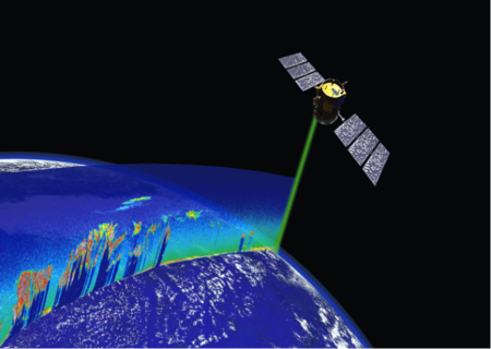
Aerosols, both natural and human-caused, can affect weather and climate. Launched on 28 April 2006 along with CloudSat, CALIPSO's mission is to study the role that clouds and aerosols play in regulating Earth's weather, climate and air quality. Both satellites fly in formation as a part of the international "A-Train" (Afternoon) constellation. CALIPSO is a collaborative NASA/CNES (Centre national d'études spatiales) satellite mission to profile the vertical distribution of clouds and aerosols and their role in the heating and/or cooling of Earth using lidar. CALIPSO and other A-Train satellites will substantially increase our understanding of the climate system. |
|
![]() |
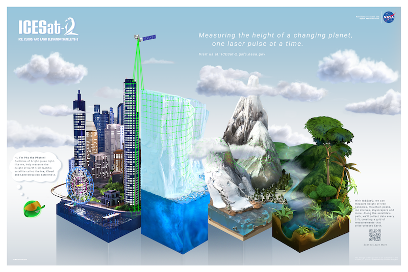
The Ice, Cloud, and Land Elevation Satellite-2, or ICESat-2, will measure the height of a changing Earth, using technology that takes 10,000 laser pulse measurements per second. ICESat-2 will carry a photon-counting laser altimeter that will allow scientists to measure the elevation of trees, ice sheets, glaciers, and more. The Trees Around the GLOBE campaign, launched in conjunction with ICESat-2, compares student tree height data with ICESat-2 measurements. The tree height data can then be complemented with additional GLOBE protocol data for use in student research. |