How GLOBE Data Supports Science
Open social media sharing options menu


How GLOBE Data Supports Science
Discover how GLOBE Program data have enhanced our understanding of Earth system science. The GLOBE community has been collecting data for 30 years. These data have been used by the scientific community to address global, regional, and local environmental challenges.
Here, we showcase these data-driven insights across various scientific applications and research questions. Key areas of investigation include soil science, aerosols, detecting contrails, monitoring river ice dynamics, and applying GLOBE protocols to better understand watersheds. While not exhaustive, these examples are representative of the scientific achievements by the GLOBE Program.
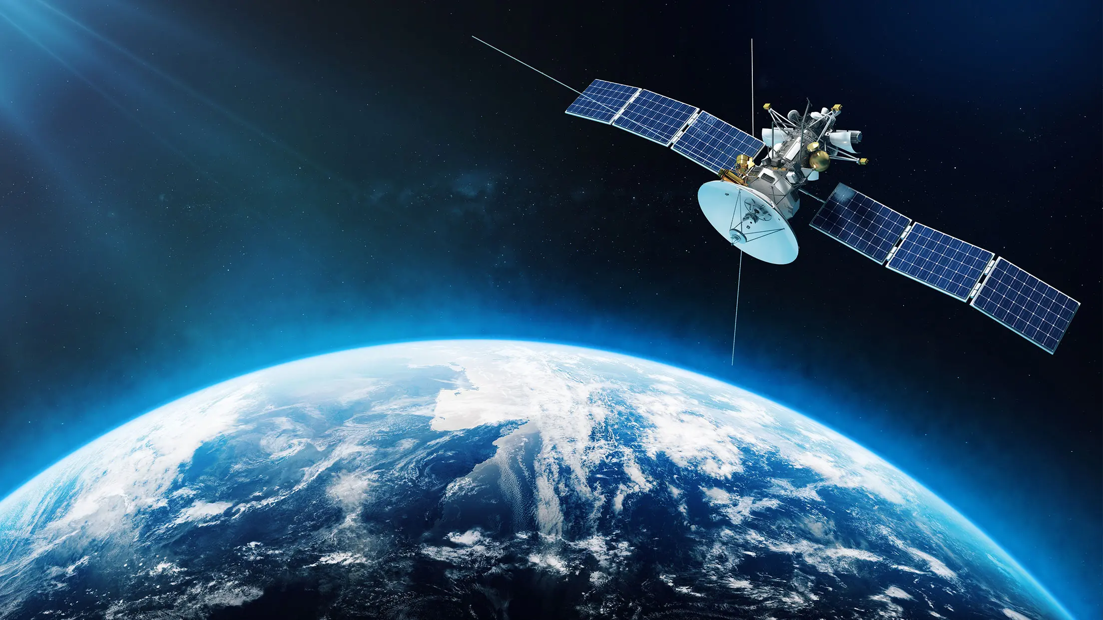
Projects listed in this section demonstrate how GLOBE data have been used to improve satellite-derived products and Earth system models. GLOBE data have served as ground-based validation for satellite-derived snow cover observations, and aerosol observations. GLOBE data have also been applied to modeling soil dynamics and numerical weather analysis in contrail detection.
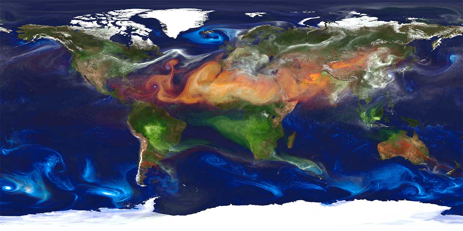
Projects in this section highlight examples of how the scientific community have used GLOBE protocols and data to better understand and address environmental challenges, including monitoring river ice dynamics. We also detail ongoing projects evaluating long-term impacts of land use change on fire regimes, forecasting mosquito-borne disease risk, and engaging citizen scientists for inclusive Earth systems monitoring in the Global South .
Here we present examples of how GLOBE protocols and Earth observation data have been applied to empower decision-making and equip communities to be more resilient and informed.