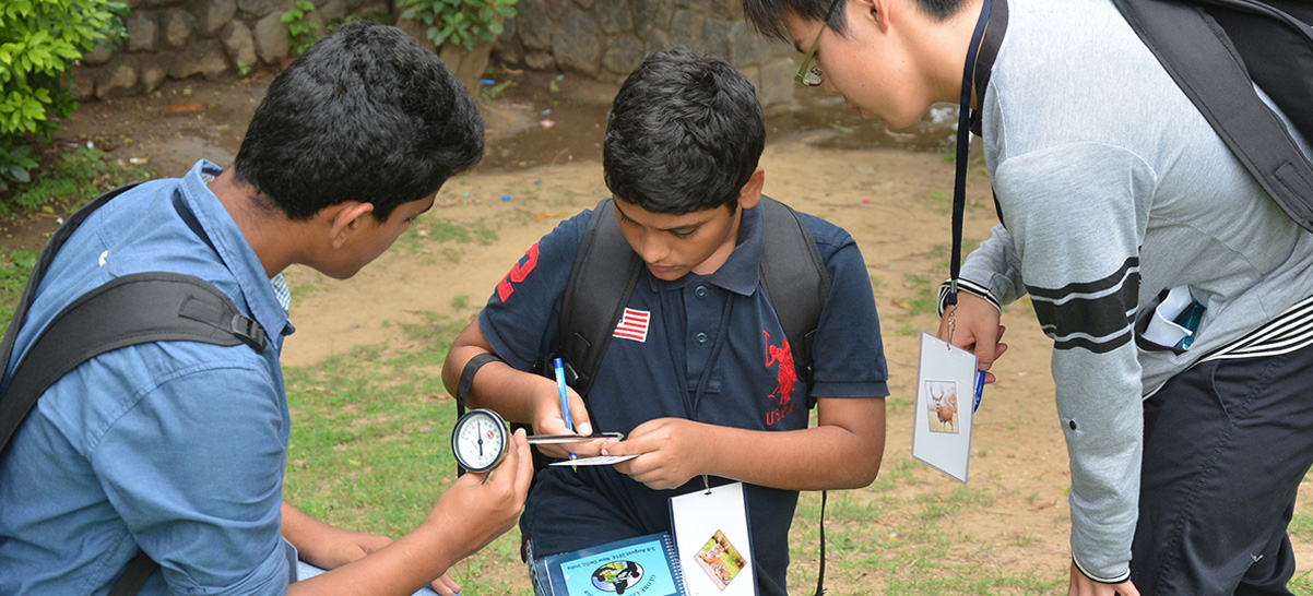
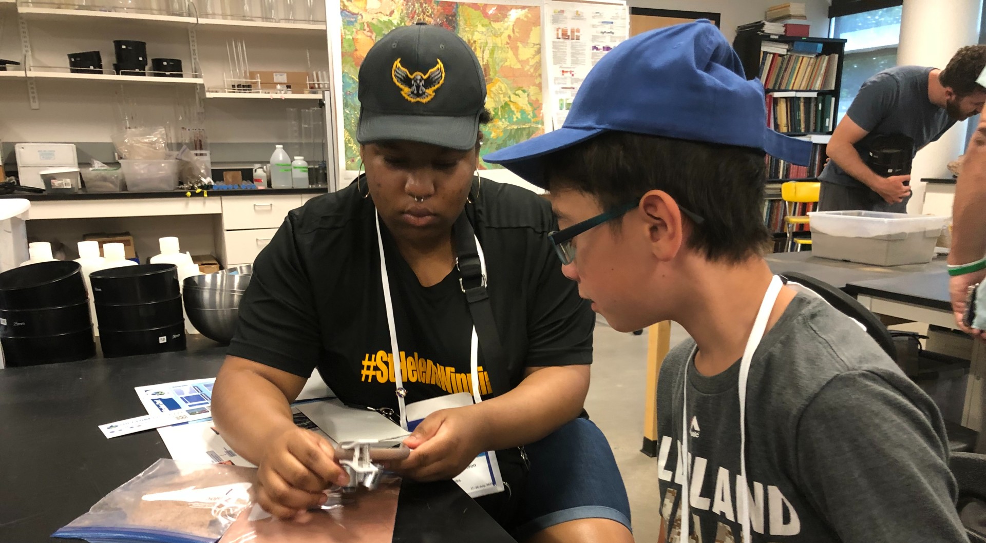
There are a variety of ways to log measurements into GLOBE repositories. GLOBE data entry methods include live data entry, training data entry, email data entry, and GLOBE Observer.
GLOBE Data
GLOBE Data

GLOBE's measurements date back to the spring of 1995. The GLOBE Program has grown a lot since then and so has its operations. As GLOBE's protocols and instrumentation have evolved over time, the GLOBE team has taken great care to maintain GLOBE data's intercompatibility from year to year. This ensures that no matter what analysis users conduct, they can be sure the data they are using is consistent and reliable.
As a public entity, GLOBE's databases are freely accessible to everyone. With that in mind, it is worth taking a few moments to learn how to best enter and access GLOBE data. You can learn about GLOBE protocols through the Data User Guide and learn to use GLOBE's data analysis tools through the Data Access, Analysis & Reporting Tutorials.
Data retrieval and visualization are some of the easiest ways to investigate GLOBE data. That is why GLOBE has tools that can create data maps, graphs, and tables directly on the GLOBE website. However, researchers who prefer to use their own analysis tools can also download GLOBE data directly.
Note: To access GLOBE data sets larger than the website's capabilities, contact the GLOBE Implementation Office.
Learn how to use GLOBE data collected from a variety of sources with the GLOBE Data User Guide. Browse and download measurements collected from GLOBE-trained teachers, students, and citizen scientists, and data collected from automated weather stations and data loggers from around the world.
Data collection and entry is critical to the success of GLOBE. In recognition of the data contributions students and schools make to the program, the GLOBE Science Honor Roll acknowledges the efforts of the most diligent participants. The honor roll is calculated based on Earth sphere and the frequency of data entry.


