"The Hook" - GOESR
"The Hook"

Weather is a subject that every individual in every nation faces each day. The Global Weather Watchers K-14 project will add another collaborative project to the GLOBE Classroom, a chance to develop content, collaborate in data collection, conduct joint investigations, and learn from each other the variations of weather around the world. Through these types of activities students will learn firsthand the connectedness of global weather patterns and global transport systems.
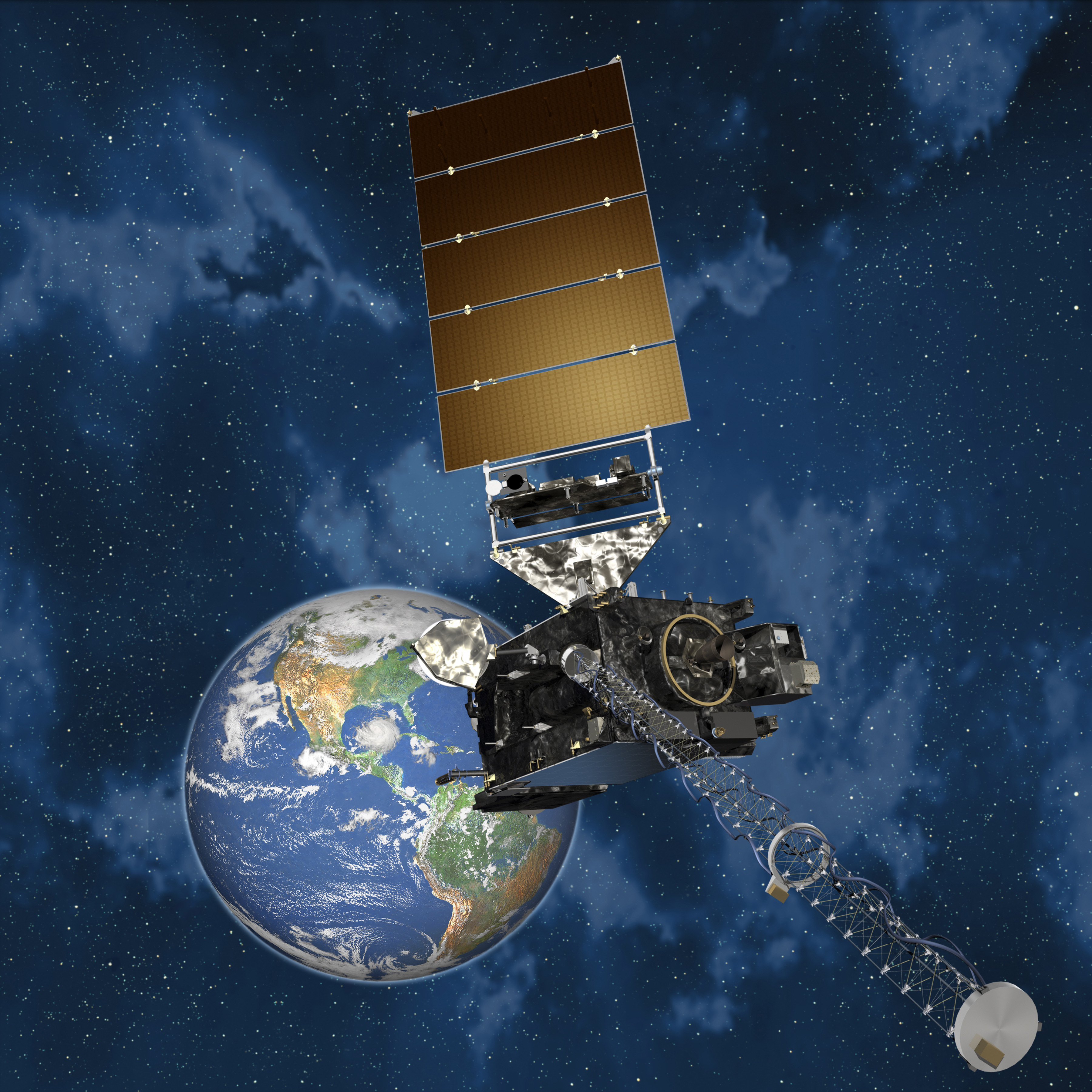
The GOES-R satellite will be the first geostationary satellite introduced within the GLOBE collaborating satellite missions. The project will create pathways for teachers and students to engage a more in-depth study and investigation into satellites and remote sensing.
Students, teachers, and the general public are often unclear as to the difference between weather and climate. This leads to confusion when current weather events such as a cold snap or major snow storm are viewed as questioning climate change with its profound warming trend. The data coming from the suite of environmental satellites in space today help monitor weather and contribute to a long-term climate record. What makes these data useful for climate investigations is that they are taken using well calibrated instruments and are therefore easily compared over decades. This type of scientific data gathering is an example of geospatial intelligence, or what NOAA describes more specifically as environmental intelligence.
Students using GLOBE Atmospheric Protocols, complete ground verification/truth data in comparison to satellite imagery. Students will investigate and document extreme, hazardous and severe weather in their region. Utilizing the GLOBE Visualization tool, and real or near real time satellite imagery, they can create a new data layer. IOP's will be developed to conduct investigations through meteorological "seasons", i.e. summer drought and/or flash flooding, hurricane, winter storms, tornado, extreme weather events etc. Using satellite imagery and data is the first step in developing a Geoscience and Remote Sensing Laboratory where students can study and investigate earth from space opening up global opportunities for collaboration. Participants will be directed to classroom resources and future webinars will be scheduled to share and discuss events and/or provide instructional information. The Global Weather Watchers Project will establish a place where GLOBE schools can share data, local media, and personal accounts of related weather issues around the world thus engaging in 21st century workforce readiness skills.


