Precipitation Protocols: Students measure daily rainfall using a rain gauge, daily snowfall using a snow board, total snow accumulation on the ground, the equivalent depth of rain for both new snow and snow pack, and use techniques from the Hydrology Investigation to measure pH of rain and melted snow.
Cloud Protocols: Students estimate the amount of cloud and contrail cover, observe which types of clouds are visible and count the number of each type of contrail.
Purpose
Timing
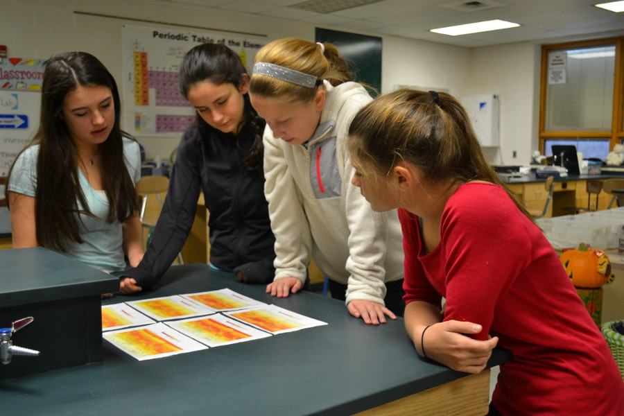
Collect atmospheric data and SatCam Imagery and record extreme or hazardous weather events as they occur as "Reports from the Field"
Events to be Scheduled During the Project
Informational webinars for teachers and students will be held throughout the project highlighting the Science, Technology, Engineering, and Mathematics within the project. Webinars will include content experts, scientists, and master teachers. These webinars will be announced through the GLOBE News and Events page.
NOTE: Webinars and other outreach opportunities are also open to schools in non-GLOBE countries, although they will not be able to participate in actual data collection.
If you have an automated weather station, that can also be used for reporting. See specific protocols for different types of approved stations at the bottom of the Atmosphere Protocols page.
Share your weather and satellite imagery in the Weather Reports media library. Note, you can also view a Case Study in the Weather Reports.
Report data to the GLOBE database
Select the "Enter Data" from your "My Page" to enter your atmospheric data. You will be asked to log in to the GLOBE website if you are not currently logged in.
Find your study site in the list of previously-defined sites, or define a new site using the "Add Site" link to the right of your study site name on the data entry page.