Collaborating Satellite Missions
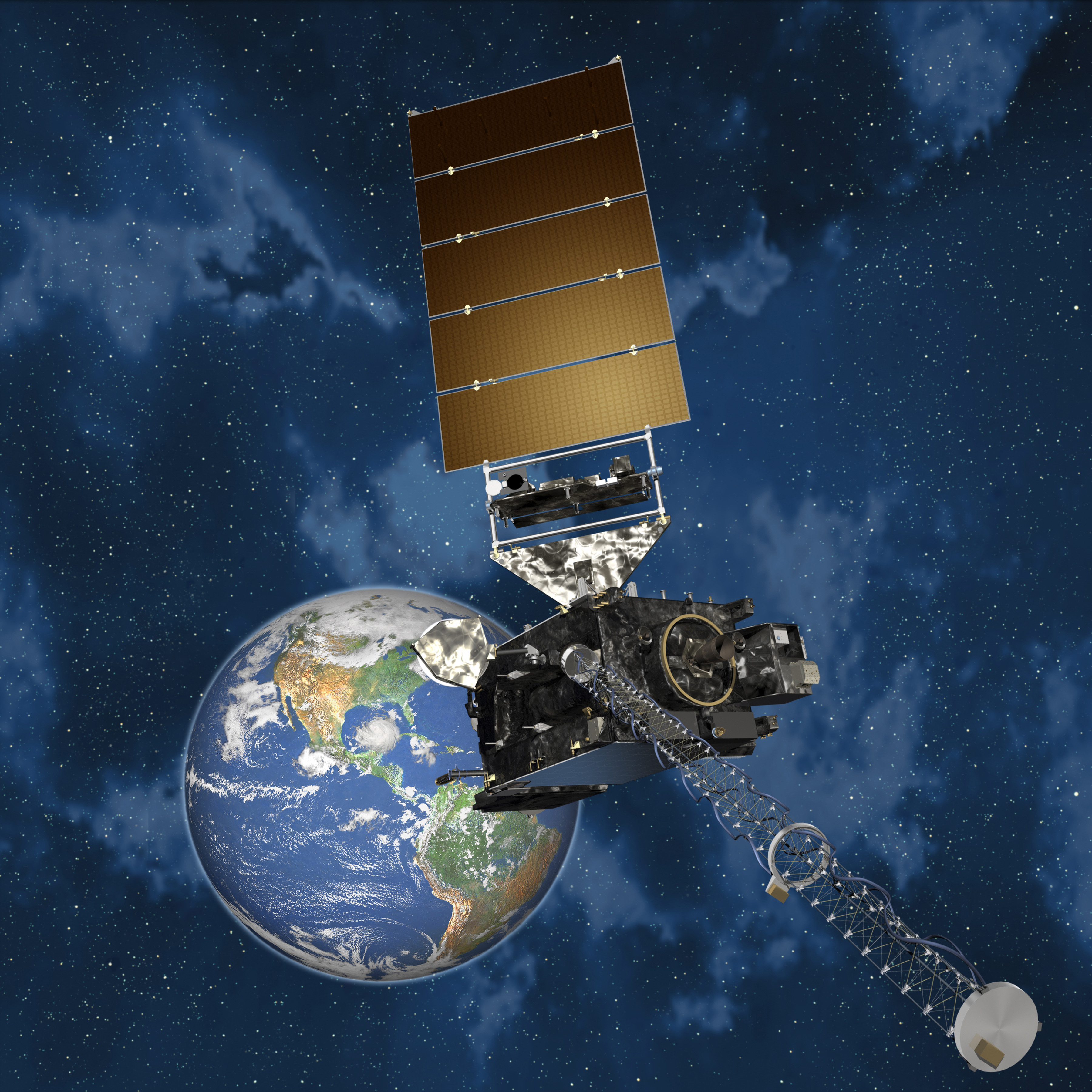
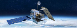
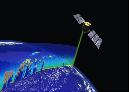
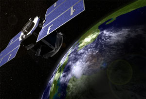
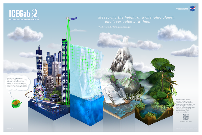
The GLOBE Program partners with NASA to collaborate on GLOBE Campaigns related to NASA satellite missions. During these cooperative campaigns, GLOBE members can collect and submit data to GLOBE's database that directly supports the efforts of NASA projects.
Learn more about GLOBE Schools and NASA satellite missions (pdf).
Active Satellite Missions
Explore the current collaborative NASA Satellite Missions below:
|
Geostationary Operational Environmental Satellites: R Series (GOES-18) The Geostationary Operational Environmental Satellites: R Series (GOES-18) is a next generation geostationary Earth-observing system. The advanced spacecraft and instrument technology used in the GOES-18 provides significant improvements in the detection and observation of environmental phenomena that directly affect public health and safety. Join the Geostationary Operational Environmental Satellites mission. |
Soil Moisture Active Passive (SMAP) The NASA Soil Moisture Active Passive (SMAP) mission provides measurements of soil moisture and its freeze state. The SMAP Mission produces daily maps of soil moisture with global coverage every three days. To contribute to the SMAP Mission, GLOBE Students can take measurements at their schools and compare their observations to the data collected by SMAP satellites. |
|
Global Precipitation Measurement (GPM) The Global Precipitation Measurement (GPM) mission is an international network of satellites that provide global observations of rain and snow. This mission advances the understanding of Earth's water and energy cycles, improves forecasting of extreme events that cause natural hazards and disasters and enables the accurate and timely information of precipitation to directly benefit society. GLOBE students can easily access GPM data and use it in their research investigations. |
|
CloudSat The CloudSat mission focuses on understanding how cloud cover influence the Earth's weather and climate around the world. GLOBE students can participate in this project by collecting data using GLOBE's Cloud Protocol These data are used to validate the measurements taken by CloudSat's millimeter-wavelength radar satellite. |
|
Cloud-Aerosol Lidar and Infrared Pathfinder Satellite Observations (CALIPSO) The Cloud-Aerosol Lidar and Infrared Pathfinder Satellite Observations (CALIPSO) mission studies the role that clouds and aerosols play in regulating Earth's weather, climate and air quality. In collaboration with Centre national d'études spatiales (CNES), CALIPSO focuses on profiling the vertical distribution of clouds and aerosols to determine their role in the heating and cooling of the Earth. To support this mission, GLOBE students can gather atmospheric data using the GLOBE Clouds and Aerosols protocols to verify the measurements taken from the CALIPSO satellite. |
|
![]() |
Ice, Cloud and Land Elevation Satellite-2 (ICESat-2) The Ice, Cloud and Land Elevation Satellite-2 (ICESat-2) mission is focused on measuring the height of trees, ice sheets, glaciers and other Earth phenomenon impacted by climate change. To contribute to the ICESat-2 mission, GLOBE students can participate in the Trees Around the GLOBE campaign and compare their tree height measurements with the data taken from the ICESat-2 satellite. |