News - United States of America


“Satellites and Remote Sensing” NARM Summary
submitted by John D. Moore, Director Institute of Earth Observations, NJ GLOBE Partner
The North American Regional Meeting (NARM) held in Palmyra, New Jersey, on 5 and 6 March, 2024, brought together stakeholders from various sectors whose focus or work is directly related to satellites and/or remote sensing. Together they learned and discussed opportunities to enhance the GLOBE Program. Participants included educators, scientists, policy makers, and students from around the Northeast.
The meeting featured presentations from distinguished speakers who shared educational strategies for science, technology, engineering, and mathematics (STEM). Presenters included Caius Reza (PocketQube), Max Friedman, (Direct-Read-out Antenna, Tina Rogerson (GLOBE Clouds), Mike Jabot (Aerokat, NASA STELLA, open GIS}, Todd Toth (Carbon Sensor), John Moore (A3Sat), Brian Campbell (ICESat2/Trees), Christine Maceo/Jin Kang (USNA SmallSat Laboratory) and Greg Canady (DSST Student A3Sat Project Program).
The theme of this NARM was "Satellites and Remote Sensing," with the purpose of showcasing existing projects and programs. While the group that gathered were for the most part aware of each other and their work, the objective was to bring them together in one place for presentations and discussions. There was also an informal discussion concerning why and how these projects can benefit the GLOBE Program as we move forward. As a group, we discussed how we know there are other groups and projects that would easily enlarge the community almost immediately.
Some of the issues that were addressed included how to incorporate data and imagery collected through the use of sensors, data quality, and the use of remotely sensed data within the GLOBE Program, especially as it pertains to student research. There was a consensus that the use of these types of technologies is more attractive to a specific student base, which broadens participation in GLOBE, STEM applications and student initiated research.
The New Jersey North American Regional Meeting underscored the critical role of satellites and remote sensing addressing environmental challenges within the GLOBE community at large. Through collaborative efforts and a shared commitment to science and sustainability, participants reaffirmed their dedication to empowering the next generation of Earth system scientists.
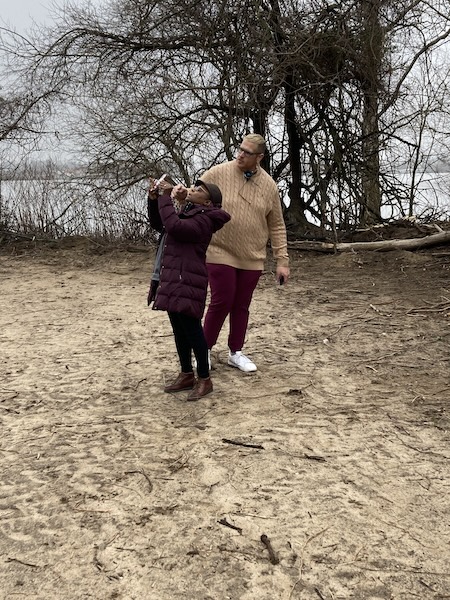
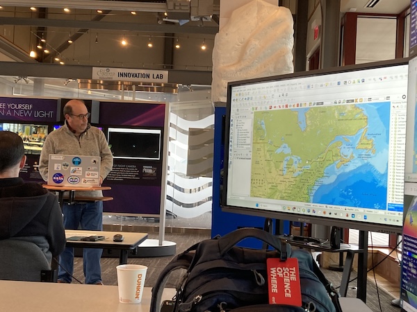
Photo captions (top to bottom):
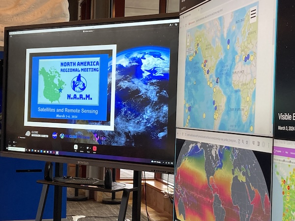
- Screens project maps and satellite imagery
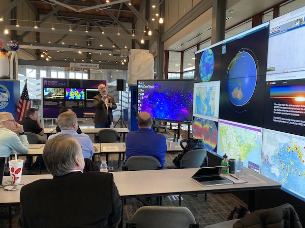
- John Moore (New Jersey GLOBE Partner) welcomes participants to the in-person North American Regional Meeting at Palmyra Cove Nature Center/Institute for Earth Observations
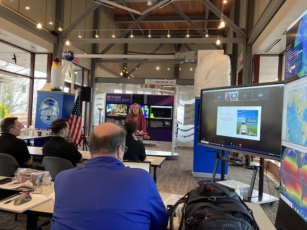
- Tina Rogerson (NASA Langley Research Center) talks about taking cloud measurements with the GLOBE Observer app.
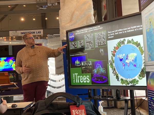
- Brian Campbell (NASA Wallops Space Flight Center) talks about the Trees Around the GLOBE campaign.
- Mike Jabot (Institute for Research in Science Teaching, SUNY Fredonia) talks about Open GIS.
- Brian Campbell helps a participant measure tree height using the GLOBE Observer app.